
Middleton ZIP Directory Coverage
Begin with 53562 for most City of Middleton addresses. Nearby records can carry several other ZIP codes because postal geography follows delivery needs, not city borders. Those adjacent codes are useful search clues, not proof that an address belongs to Middleton. The table separates the primary city code from edge areas that require a second check. USPS remains the authority for the ZIP assigned to a specific mailing address, while Dane County and city maps identify the government jurisdiction.
| ZIP Code | Areas Covered | Post Office | Notes |
|---|---|---|---|
| 53562 | City of Middleton and immediate city addresses | Middleton, WI | Primary city ZIP; verify the exact address |
| 53597 | Northeast edge, Town of Westport and Waunakee-side area | Waunakee, WI | Not every address is in Middleton |
| 53717 | Southwest Middleton and Madison edge | Madison, WI | Postal city and municipality may differ |
| 53705 | Southeast Middleton and Madison edge | Madison, WI | Check the parcel layer and city limit |
| 53593 | Town of Middleton and Verona-side area | Verona, WI | An area clue, not a city designation |
| 53528 | Cross Plains and Town of Springfield-side context | Cross Plains, WI | Use when evidence points west |
| 53529 | Town of Springfield and northeast Dane area | Dane, WI | Confirm township or city |
No official source in the research assigned a specific postal station to each edge ZIP, so the city labels above should not be read as facility names. A ZIP code directory result also says nothing about who occupies the address. It only puts the address in the right postal area and helps choose the next official search.
Verify Middleton ZIP Codes First
The USPS ZIP Code Lookup offers three useful modes: search by a full address, search by city and state, or enter a ZIP to see its postal city. Use the full-address mode whenever possible. A city-wide result is too broad for an edge parcel, and USPS warns that its answer does not confirm that a person or company is located there.
The official form captured for this project shows the postal lookup entry point. Its result should be saved with the date searched because postal data can change.
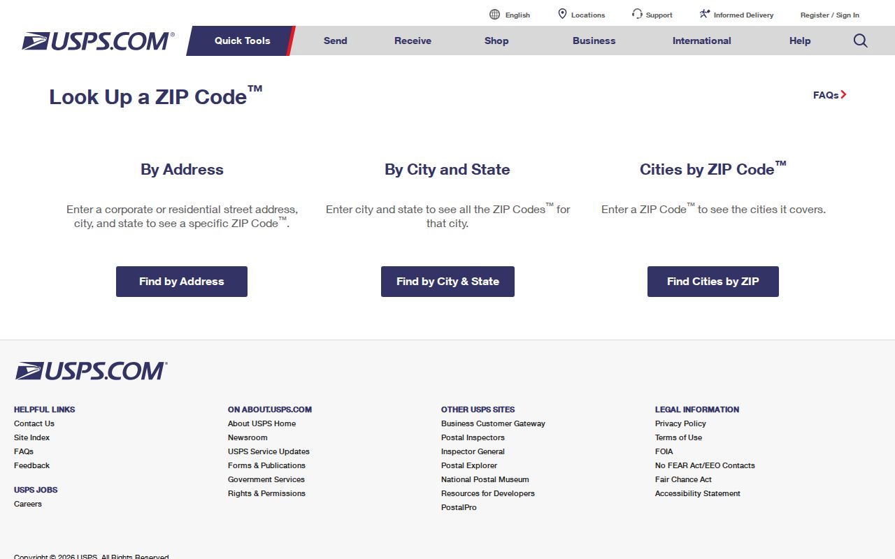
After USPS standardizes the street and ZIP, carry that exact string into the county parcel search. Keep the USPS result and the municipal result as separate facts.
Why Middleton Starts With 53562
The 53562 code is the first test for a City of Middleton address. It covers the core postal area, but even a matching code does not settle the parcel's municipality, ward, or owner. Pair the USPS answer with Access Dane Land Records Search. The parcel card can supply the municipality, situs address, parcel number, legal description, and links to assessment, tax, zoning, and map information.
A situs address is the physical location of the parcel. It can differ from the owner's tax mailing address. That distinction prevents a common mistake: assigning a person to a Middleton property merely because the tax roll sends mail somewhere else.
Note: Record the search date and exact address form so a later ZIP or parcel update can be checked against the original result.
Middleton ZIP Codes at the Edges
The strongest boundary clues are 53597 to the northeast, 53717 to the southwest, and 53705 to the southeast. A Waunakee or Madison postal label can coexist with a parcel near Middleton, but that label is not a legal city boundary. The Middleton Maps and Plans page links the official map, zoning and GIS resources, FEMA panels, and agreements with neighboring towns.
The city lists intergovernmental agreements with Town of Middleton from 1994 and 2001, Springfield from 2004 and 2009, and Westport from 1998. These are useful when an annexation or planning question sits behind a confusing ZIP code. They do not replace a current parcel check. Use the map edition and agreement date that match the time period being researched.
Boundary check. A postal city, city limit, ward, and parcel municipality answer four different questions; never collapse them into one location claim.
Find Middleton Residents by ZIP
No official portal found in the research publishes a complete Middleton resident list by ZIP. Use the code as a narrowing field, then confirm one address or one person through the proper custodian. Access Dane's inspected quick search exposes owner, address, and parcel modes, but not a confirmed ZIP-wide filter. MyVote accepts a ZIP only as part of an individual's identity match. DCiMap provides spatial browsing, not a verified postal query.
- Enter the complete address in USPS and save its standardized ZIP and postal city.
- Search the standardized street in Access Dane, omitting the municipality as its help page directs.
- Confirm the parcel municipality and map position in DCiMap or the city map.
- For your own voter record, use MyVote with the street, unit, city, and ZIP. For a defined voter-list request, contact the Middleton Clerk.
- Once the result narrows to one road, use the Middleton street directory for the address-level record chain.
A failed ZIP search is useful if its scope is logged. Note the portal, date, spelling, and whether the source searches postal geography at all. Do not turn a non-match into a claim that a person does not live in the area.
Middleton ZIP Lookup Fields
Each official system treats the ZIP in a different way. The table keeps those limits visible before a broad query becomes an unsupported resident claim.
| Official source | ZIP control | Result | Limit |
|---|---|---|---|
| USPS | Address, city/state, or cities-by-ZIP | Standard postal result | No person or municipal confirmation |
| Access Dane | No ZIP field confirmed in inspected quick mode | Owner, address, or parcel result | Verify advanced mode in a live session |
| MyVote | ZIP required with address search | One person's registration match | No public ZIP-wide browse |
| DCiMap | Map and layer controls | Parcels visible in the map view | No confirmed postal ZIP layer |
For a voter-list extract, Wisconsin's Badger Voters route is regulated and fee based. A request should identify the municipality, election or date, needed fields, and output. Birth dates, license or Social Security number data, accommodation details, and protected addresses are restricted.
ZIPs, Units, and Middleton Parcels
Condominiums and new subdivisions expose the limits of postal-only searching. A condominium may have a building address, a unit, and its own parcel number. An older directory may list only the building. A new street may not appear in an old deed because the deed uses a lot, block, plat, certified survey map, or township-range-section description.
Access Dane supports parcel number, survey fields, plat name, certified survey map number, block, lot, outlot, condominium building, and unit. These routes can recover a property when a ZIP code directory search stops at a new or incomplete address. If a parcel was annexed, compare the city planning record, county layer, and USPS result. Their update cycles may differ.
Middleton ZIP and Ward Layers
Middleton has eight aldermanic districts or wards, a civic geography separate from its ZIP codes. The Middleton elections page routes residents to MyVote and publishes ward, voting, absentee, and early-voting information. Tie any ward finding to an election date because boundaries and officials may change.
The captured Middleton elections resource is the official starting point for checking that civic layer.
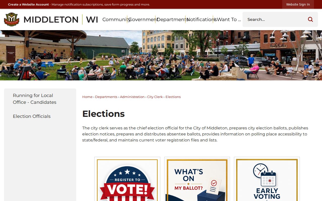
The ward tools help route a civic-record question, while USPS and the parcel map remain the sources for postal and land geography.
A ZIP can help select an area, but only the current ward map and election record can confirm the civic district. MyVote is meant for an individual's own record. It can return registration status, elections voted, absentee information, and elected officials after an identity match. It does not reveal ballot choices and is not an open directory of everyone in 53562.
Note: Use a ward result to find the right clerk or public meeting record, not to expose a person's private identifiers.
Middleton ZIP Growth in Context
Census QuickFacts reports 17,442 residents in 2010, 21,827 in 2020, and a 2025 estimate of 23,115. Those figures show why a ZIP-only resident search can produce too broad a pool. They are city population measures, not counts for a single postal code, and the estimate must be labeled by year.
Growth also means new plats, streets, and annexation records can appear on a different schedule from postal updates. When a street is missing from a historic source, search the plat or certified survey map and ask City Planning or Dane County Land Information about an old-to-new crosswalk. The research found no official Middleton-wide street-renumbering project, so one should not be assumed.
Middleton ZIP Boundaries and Limits
A Middleton ZIP code directory should end with a qualified location statement: the exact USPS result, the parcel municipality, the map or record date, and any boundary mismatch. Avoid stating that a named person resides in Middleton merely because a postal code, tax mailing address, or voter form produced a match. Those sources each have a narrower purpose.
- ZIP
- A five-digit postal routing code. Its edge does not equal a municipal boundary.
- ZIP+4
- The base ZIP plus four digits that narrow delivery to a smaller segment.
- PO-box ZIP
- A code or routing use tied to post-office boxes rather than a physical home location.
- Unique ZIP
- A code assigned to one high-volume recipient; no Middleton example was verified in the research.
- Carrier route
- A mail-delivery path within a ZIP, not a public list of residents.